Kolkata editionStory 01
Local UpdatesKolkata15s read
#ViksitBharat
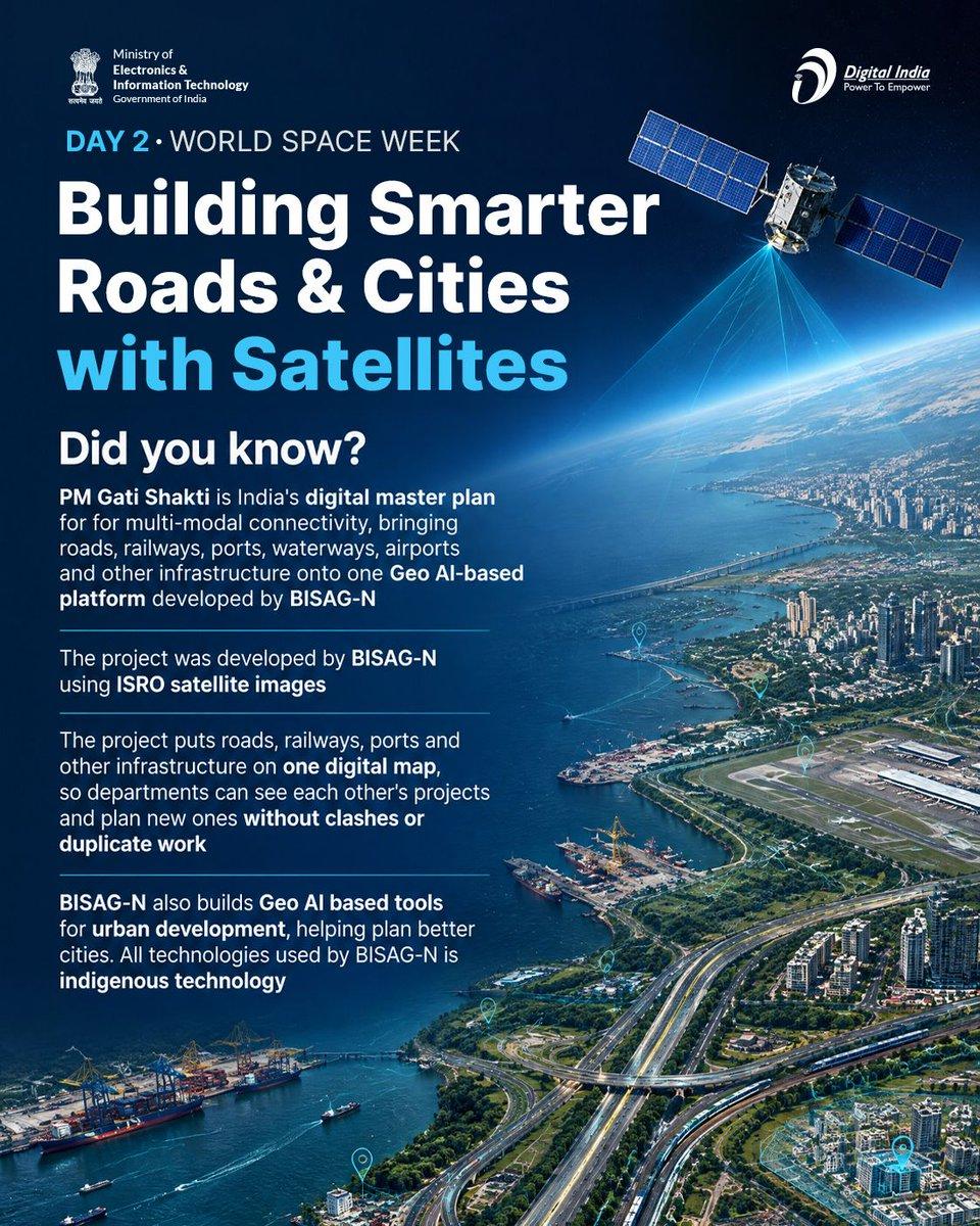
#WestBengal #Kolkata Digital India (@_DigitalIndia) From highways to smart cities, planning starts with a view from space! 🛰️ BISAG-N's satellite-based tools, including the PM Gati Shakti platform, help India plan roads, railways, ports, waterways and airports together on one digital map and connects cities in a smarter way. #WorldSpaceWeek #PMGatiShakti #DigitalIndia — http://shitter.thepixora.com/_DigitalIndia/status/2106994748729008577#m
X (@Sandip_DM2066) · Oct 5
Explore KolkataFinding your next story…